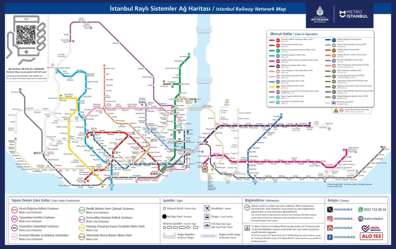
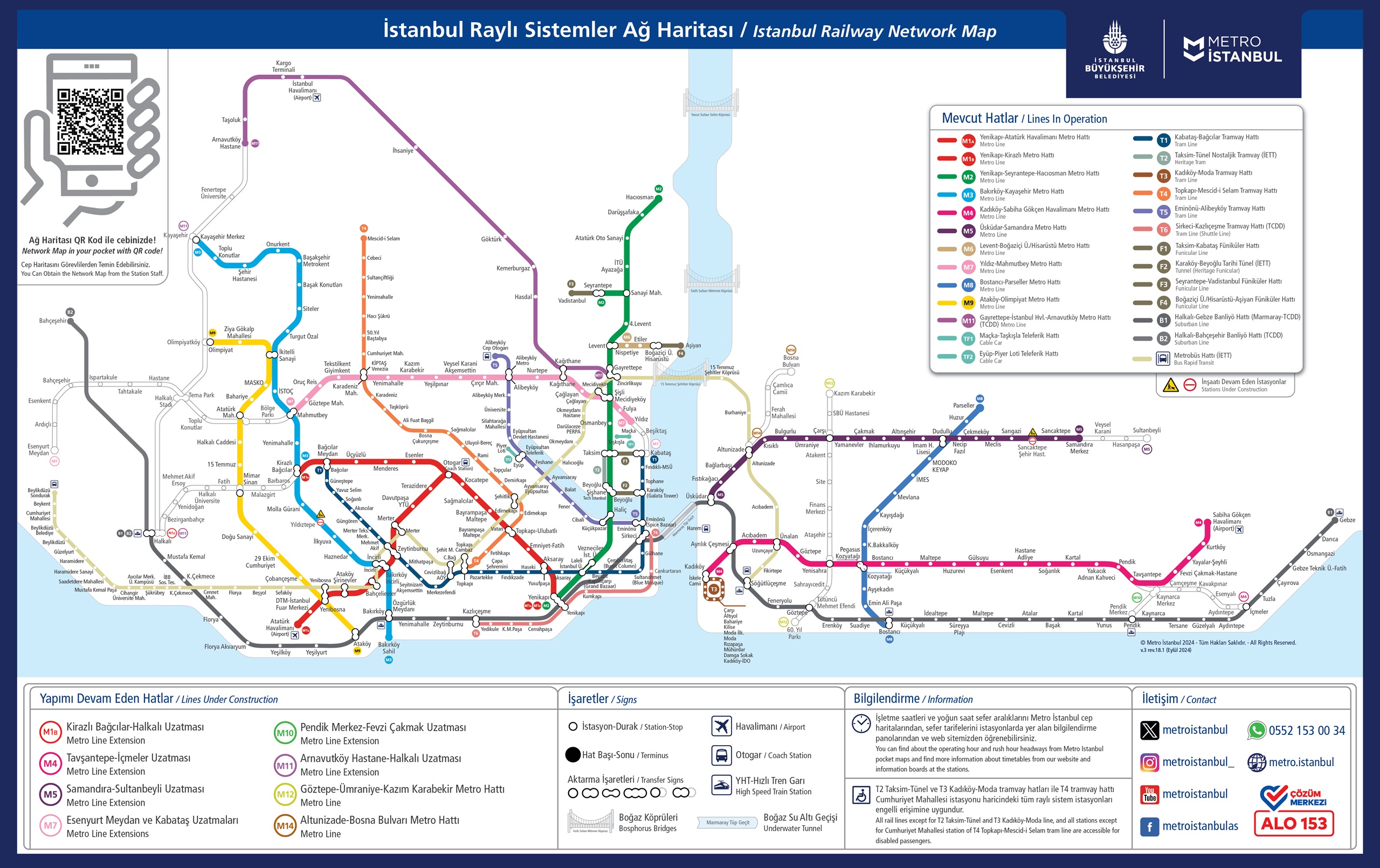
Istanbul rail system map
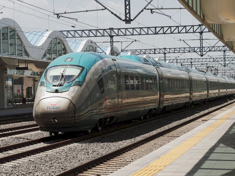
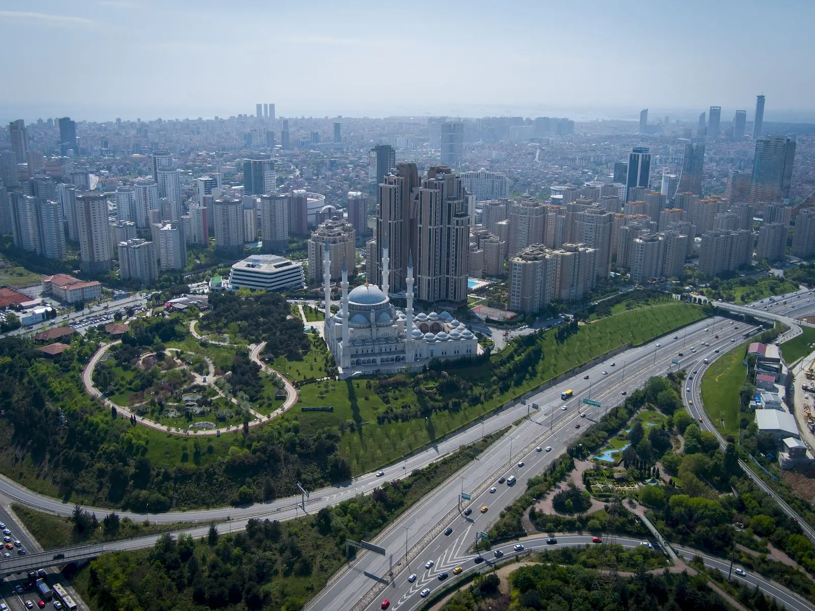
Rail systems in Istanbul play a very important role in urban transportation, providing efficient, reliable and mostly environmentally friendly travel within the city. There are various types of train and rail transportation operating on special routes in Istanbul. Here you can find the rail systems map of Istanbul.
Rail system vehicles used in urban transportation in Istanbul include trains, subways, trams, cable cars and funiculars. Although most of these are operated by the Istanbul Metropolitan Municipality (IMM), some lines are operated by the Ministry of Transport and Infrastructure.
Rail systems map
You can use this link to open the full version of Istanbul’s rail systems map. So you can see the details in a much larger resolution. You can see the rail systems map in general below:
Metro is an important underground rail system serving densely populated areas in Istanbul. Kadıköy-Sabiha Gökçen Airport Metro Line is an important line connecting Istanbul to Sabiha Gökçen Airport from the Ayrılık Çeşmesi stop. From the Ayrılık Fountain, a connection is established with the Marmaray to the European Side.
In Istanbul, light rail and trams are usually at ground level or elevated and occasionally share the area with road traffic. In this sense, there are many tram lines on the European side.